Back to results
SRL230080_01

Land At Whitehouse and Dwellings, Claverley

Wolverhampton, Shropshire, WV5 7EA

54.18 Hectares / 133.87 Acres of Arable Land categorised by the Agricultural Land Classification as Predominantly Grade 2

annually £12

To Let

Property description

MARKETED BY INFORMAL TENDER

54.18 Hectares / 133.87 Acres of arable land categorised by the Agricultural Land Classification as predominantly Grade 2 with some Grade 3 land.

The land benefits from a significant roadside frontage and access to the land is available via a number of roadside gates directly onto the public highway.

Lot 1 is located north of the public highway and extends to approximately 36.34 Ha (89.79 Ac) and is comprised land classified as Grade 2 and Grade 3 according to the Agricultural Land Classification Map of England.

Lot 2 is located south of the public highway and extends to approximately 17.84 Ha (44.08 Ac) of land classified as Grade 2 according to the Agricultural Land Classification Map of England.

A field schedule and plan for each lot is provided at the back of these Particulars.

VIEWING
The property may be viewed unaccompanied during reasonable daylight hours, when in possession of a copy of these letting particulars. All interested parties who view the Property will do so at their own risk.

Please contact Andrew Price at Balfours for further details or to submit a tender:
Email – AndrewPrice@Balfours.co.uk / Tel – 01981 570 727 Mob – 07468 015 983

TENDERS TO:
The land is being marketed by informal tender. Potential tenants should make an offer using the tender form on or before 12 noon on Friday 15th September 2023.

COMPLETED TENDER TO BE RETURNED TO: ANDREW PRICE by EMAIL at AndrewPrice@Balfours.co.uk

Or to: BALFOURS LLP, THE ESTATE OFFICE, THE VALLETS, WHITFIELD, HEREFORD, HR2 9BA
clearly marked “Tender for Land at Whitehouse & Dwellings”.

CLOSING DATE: FRIDAY 15th SEPTEMBER 2023

Permitted fees

Location

A little bit about

South Stafford

Staffordshire is a landlocked ceremonial county which is hilly to the north and south with borders on the southern end of the Pennines, the Peak District National Park and Cannock Chase (an Area of Outstanding Natural Beauty) in the south. The River Trent flows through the county and is the third longest river. Staffordshire is famous for a number of Iron Age tumuli and Roman Camps.

The village of Codsall offers good transport links to Wolverhampton and Birmingham and boasts several independent businesses such as award-winning butchers, haberdashery shops and specialist clothing boutiques. Burton-upon-Trent is famous for brewing beer and was known as the capital of brewing in Britain. Located above the National Forest and on the River Trent it offers a landscape of rolling farmland, ancient forests and newly planted woodlands.

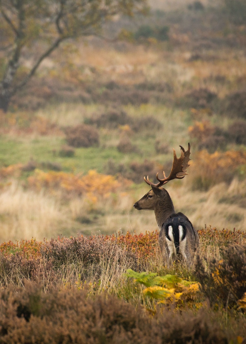
Shugborough is a historic estate with a mansion, gardens and farms offering a great family day out. Cannock Chase is a beautiful forest with walking trails, biking paths and picnic areas great for outdoor enthusiasts. There are numerous wildlife centres to visit along with a birds of prey centre.

Stafford is noted for a host of schools, both within the state and private sector. Wolverhampton Grammar and Wolverhampton Girls High School are both highly regarded in the south of the county. Along with Yarlet School to the North and Repton to the West. Stafford also has two universities in the county; Keele which is known as a public research university and Staffordshire University.

Staffordshire is located in the centre of England making travel extremely flexible. By rail, Staffordshire is served by a number of local and national routes with Stafford, Lichfield and Rugeley all connecting with London. The M6 motorway runs through the county from north to south with the M6 toll bypassing the county. International airports can be found at Manchester, Birmingham and East Midlands.

Areas We Cover
South Stafford | Balfours